Is FlyPath free?
Yes. The current web release is a free beta. If paid plans or limits are introduced later, they will be presented before any charge applies.
What can I export today?
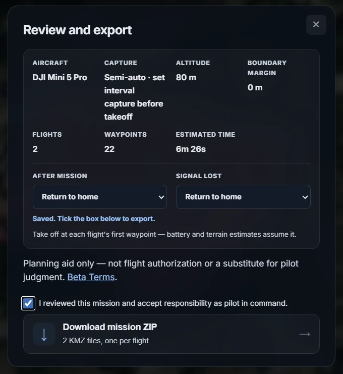
FlyPath exports one DJI WPML KMZ or, with flight splitting enabled, a ZIP of continuous KMZ flights. Terrain-following heights can be included. Always inspect every file in the intended DJI application before flying.
How does flight splitting work?
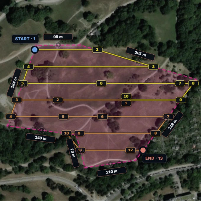
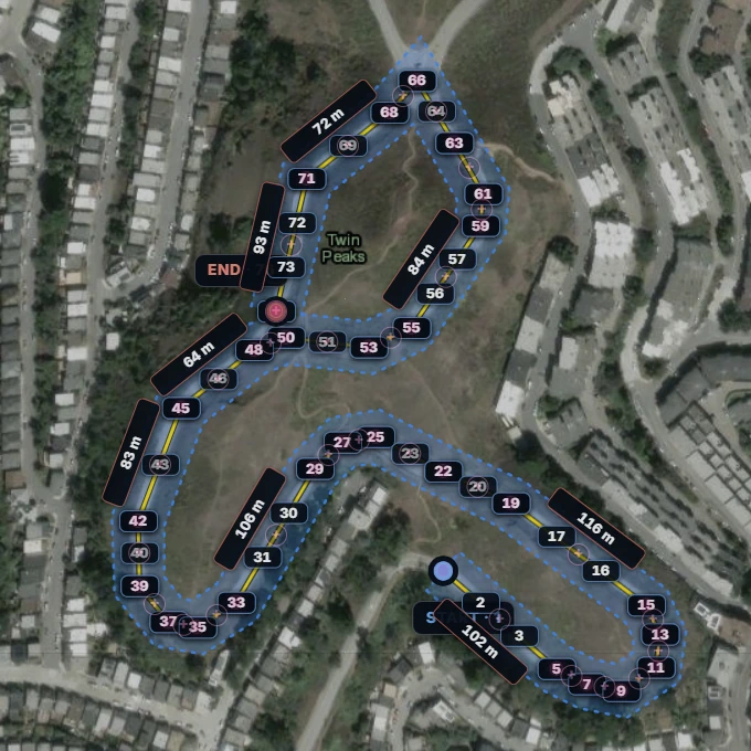
Set a minimum number of flights and a per-flight waypoint limit. FlyPath divides the route at existing waypoints into continuous flights, not the survey area itself. Each flight starts where the previous one ended, and all of them download as separate KMZ files in one ZIP.
How does terrain following work?
Choose a tolerance in metres. Along each flight line, FlyPath samples built-in global elevation data and inserts a waypoint whenever the ground has changed more than your tolerance, giving every waypoint its own flight height so the drone holds a steady height above terrain.
What are semi-auto and full-auto capture?
Semi-auto keeps capture control with the pilot. Full-auto adds photo actions along each flight line from the selected front overlap and the aircraft camera profile. Review every generated camera action before flight.
What is corridor mode?
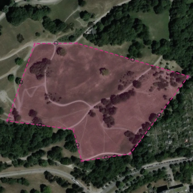
Draw a centre line instead of a polygon and set a corridor width. FlyPath plans a linear route along it, for roads, pipelines, coastlines, and other narrow sites where an area grid wastes flight time.
What does cross-hatch do?
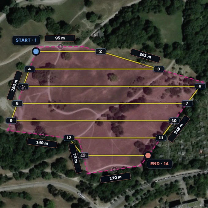
Cross-hatch flies the survey grid a second time, perpendicular to the first pass. It roughly doubles flight time and photo count in exchange for stronger 3D reconstruction and point-cloud stability.
Which aircraft profiles are available?
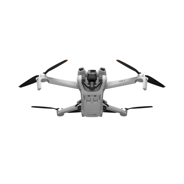
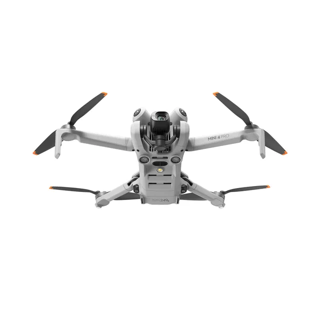
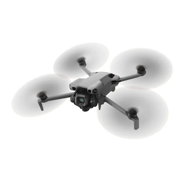
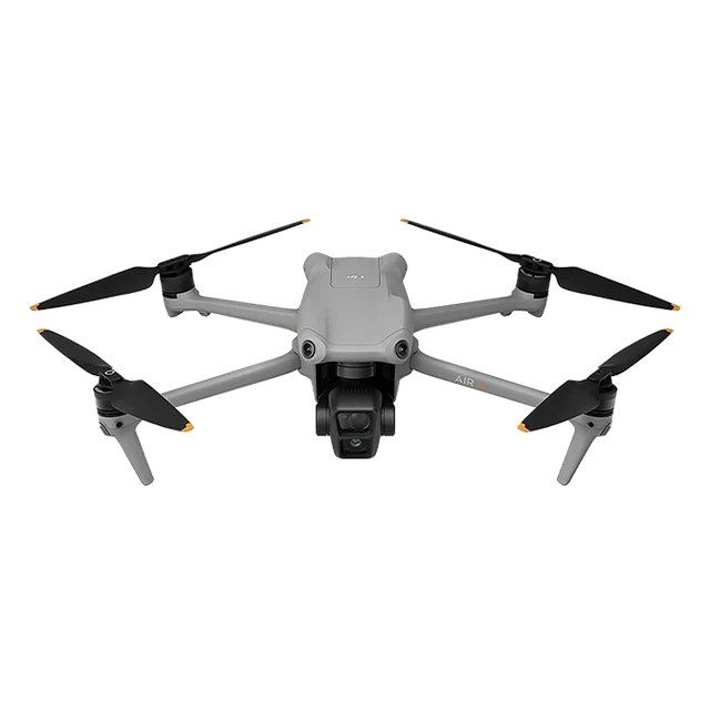
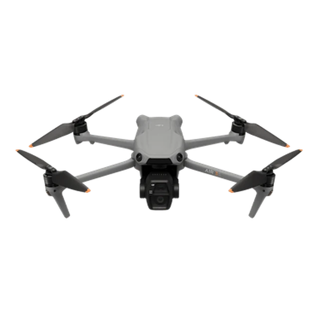
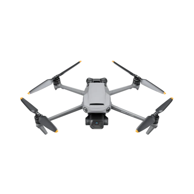
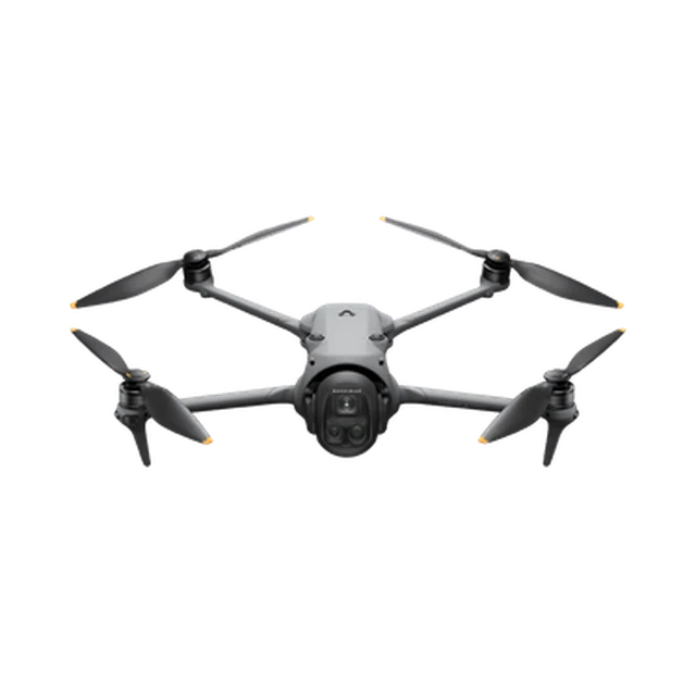
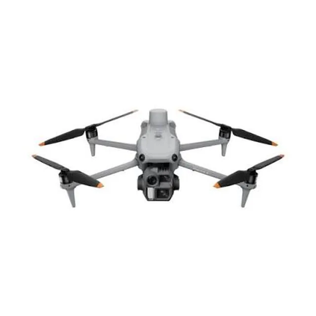
FlyPath includes DJI Mini 3 Pro, Mini 4 Pro, Mini 5 Pro, Air 3, Air 3S, Mavic 3 Classic, and Mavic 4 Pro profiles. Multi-camera aircraft must use the wide mapping camera. The Matrice 4E remains in validation.
Can FlyPath check airspace or weather?
FlyPath can display elevation contours, preview terrain clearance, and export terrain-following heights. It does not provide airspace authorization, no-fly-zone, weather, or obstacle checks.
Does an exported mission guarantee a safe flight?
No. FlyPath is a planning aid. The pilot remains responsible for route review, compatibility checks, legal compliance, site assessment, and safe operation.